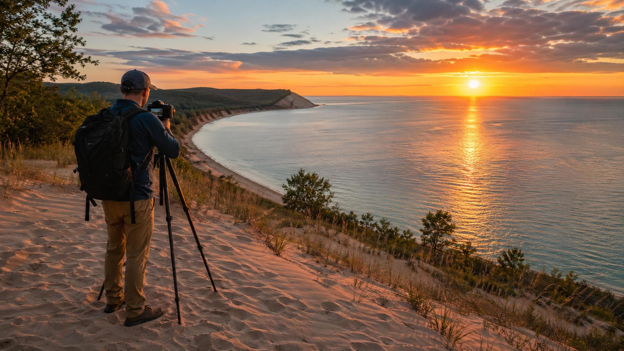
The best photo plan starts with legal access and current conditions. Do not infer public access from a geotag, roadside pull-off, dock, or shoreline image.
Reliable starting points
| Subject | Official planning source | Access note |
|---|---|---|
| Sleeping Bear dunes, overlooks, and shoreline | NPS maps and current conditions | Use only mapped roads, parking, overlooks, and trails that are open. |
| Traverse City waterfront and parks | City parks directory | Confirm park hours, event restrictions, parking, and any permit requirement. |
| Paved and regional trail scenes | TART Trails | Check the individual trail map, crossings, closures, and allowed uses. |
| Mission Point Lighthouse | Official lighthouse site | Verify grounds and building access before planning an interior or sunset shoot. |
| Grand Traverse Lighthouse | Official lighthouse site | Also check Leelanau State Park entry and recreation rules. |
Verified July 27, 2026. Conditions and access can change after publication.
Sleeping Bear’s Pierce Stocking Scenic Drive
Use the current NPS park map and conditions page before setting out. Do not build a shoot around an old “Stop 9” label, platform, or overlook description without confirming it on the current NPS map and closure notices. Stay behind barriers and away from unstable bluff edges.
Cedar Lake and private shoreline
This guide does not provide a Cedar Lake access point. Cedar Lake images online may have been made from private property. Use a current municipal, county, state, or federal map to establish public access before visiting; never use a private dock, road, beach, or yard without permission.
Drone and commercial-work rules
The National Park Service generally prohibits launching, landing, or operating unmanned aircraft from lands and waters it administers. Read the NPS unmanned-aircraft policy and current park conditions.
Outside NPS property, FAA rules still apply, and the land manager controls takeoff and landing. Check both before a flight. Commercial portraits, lighting, props, or crews may trigger local or land-manager permit requirements; ask the site directly.
Field checklist
- Confirm the exact parking area and legal pedestrian route.
- Check sunrise or sunset time, forecast, wind, waves, and lightning risk.
- Keep trails, dune vegetation, private property, and wildlife undisturbed.
- Do not block paths, overlooks, roads, or accessible routes with equipment.
- Bring a weather backup and leave when conditions become unsafe.
- Avoid publishing directions to fragile or unauthorized locations.
For night photography, verify that the chosen park remains open after dark and that parking is permitted. A dark-sky image does not prove lawful nighttime access.