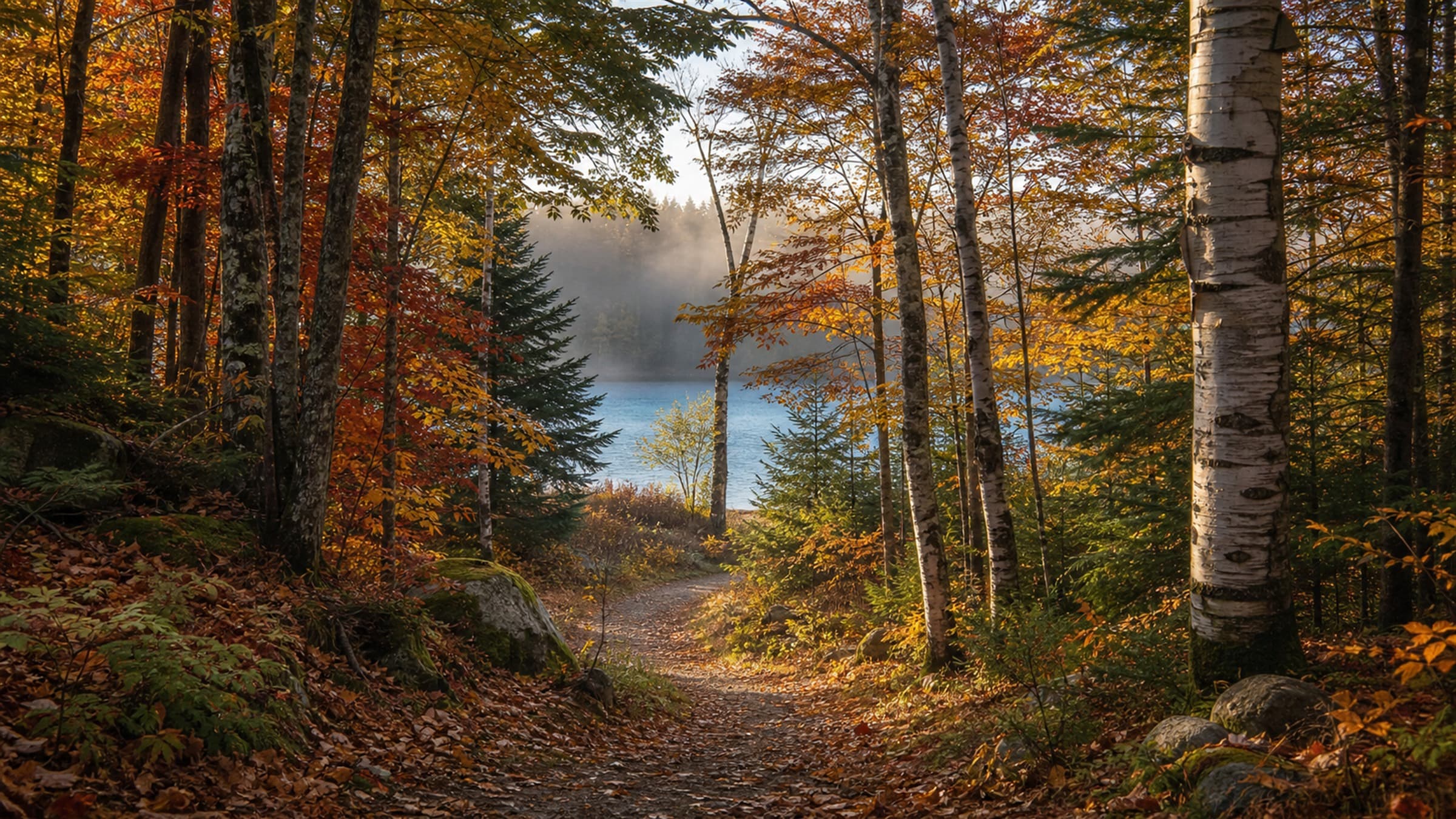
Fall plans around Traverse City work better when they start with one choice: Which area gets most of the day?
Trying to fit downtown, both peninsulas, and Sleeping Bear Dunes into one loop usually creates more driving than exploring. Pick one primary area, check current conditions, and keep a same-area backup in case rain, wind, road work, or changing business hours alter the plan.
This guide does not predict a "peak color" weekend. Use the National Weather Service in Gaylord for regional forecasts and hazards, then check the current pages for the parks, trails, roads, and businesses in your chosen loop near your travel date.
Source check completed July 30, 2026. Weather, road, trail, facility, fee, access, reservation, and business details are volatile; recheck the linked controlling sources before leaving.
Start with five checks
Open these before choosing the day's route:
- Recent conditions: Check current land-manager, trail, and destination pages for the area you plan to visit. Treat any seasonal report as a snapshot, not a guarantee for a future weekend.
- Weather: Check the National Weather Service Gaylord office for forecasts, wind, rain, and hazardous-weather information.
- Roads: Review the official MDOT Mi Drive map and live navigation for construction or closures.
- Land manager: Open the current park, trail, city, or township page for every outdoor stop.
- Reservations and hours: Confirm any must-visit business on its own website or booking system.
Open the live source pages while finalizing the route and save the addresses and reservation details you will need. A screenshot of an old itinerary is not a current conditions report.
Pick one fall loop
| If your priority is… | Build the day around… | Check first | Same-area backup |
|---|---|---|---|
| A compact peninsula drive with tasting-room options | Old Mission Peninsula | Association map for orientation, each selected winery's official site, Mission Point Lighthouse page, weather | Shorten the route and return to downtown |
| A broader peninsula day with flexible town and tasting stops | Leelanau Peninsula | Official wine-trail map, individual stop pages, road conditions | Choose one sub-area instead of crossing the peninsula |
| A national-lakeshore day with trails, overlooks, or beach access | Sleeping Bear Dunes | NPS conditions, maps, fees, alerts, weather | Pick a shorter park area or use an inland Traverse City plan |
| Less driving with trails, shopping, museums, and food nearby | Traverse City and downtown | TART maps, city/DDA parking, event restrictions, venue hours | Move indoors without crossing the region |
The table is a planning tool, not a route guarantee. Current closures, weather, traffic, mobility needs, and reservation rules should decide the final plan.
Old Mission Peninsula: keep the stop count small
Use the Old Mission Peninsula Wine Trail map only for member names and broad orientation. For exact location, hours, reservations, and visitor details, open each selected winery's official site directly and confirm that the page belongs to the winery you intended. Direct official starting points include Chateau Chantal, Bowers Harbor Vineyards, and Mari Vineyards. If tasting is part of the day, choose a small number of stops, confirm reservations and food availability, and arrange a sober driver or transportation before the first tasting.
Mission Point Lighthouse can be a geographic anchor at the north end of the peninsula. Its official visitor page controls current park, lighthouse, tour, parking, trail, restroom, accessibility, and seasonal-hour details. Do not rely on an old social post or a map listing for those facts.
A workable outline:
- Morning: weather and road check, then one outdoor stop.
- Midday: one reserved or verified-open tasting or meal stop.
- Afternoon: one additional stop only if the group still has time and the road and weather picture is comfortable.
- Backup: return toward downtown and use the rainy-day chooser.
For more tasting logistics, use the Old Mission and Leelanau winery guide and browse current Traverse City winery listings.
Leelanau Peninsula: choose a sub-area
The Leelanau Peninsula Wine Trail is a starting point for current tasting-room links, not a requirement to visit the entire trail. Pick a small geographic cluster and confirm each stop directly.
Build the day in this order:
- Choose the one stop that matters most.
- Add one nearby outdoor, town, or food stop from a current official or first-party page.
- Keep a second business or indoor option in the same part of the peninsula.
- Drop the farthest stop first if weather, traffic, or daylight makes the route feel rushed.
The Leelanau Peninsula guide can help with geographic orientation. It should not replace live directions, manager pages, or business confirmations.
Sleeping Bear Dunes: pick one park area
Sleeping Bear is a regional day trip, not one quick attraction. Start with the National Park Service:
Then choose one park area or one main walk rather than trying to cover the lakeshore from end to end. The current NPS pages should control decisions about facilities, roads, trails, fees, pets, accessibility, and alerts.
Treat beaches as scenic stops in this itinerary. Any water activity should be a separate decision based on current NPS and weather guidance, appropriate equipment, and the group's ability.
The full Sleeping Bear Dunes day-trip guide covers park planning in more detail. If the NPS or weather pages make the original plan unattractive, switch to the Traverse City loop rather than forcing the day.
Traverse City and downtown: the low-driving option
This loop works when the group wants flexibility. Open the TART Trails directory the same day you plan to use it, choose a trail segment, and treat any visible detour, closure, or condition alert as same-day evidence. Then pair the segment with downtown, the bayfront, shopping, or an indoor venue in the same part of town.
Before parking, open the downtown parking guide and follow its links to current city and DDA maps and event information. Posted signs and current restrictions control.
One simple structure:
- Morning: a current TART segment or a city-managed outdoor stop.
- Midday: downtown meal or shopping stop confirmed open.
- Afternoon: continue outside if conditions are good; otherwise use one venue from the rainy-day guide.
- Evening: stay downtown if an event, dinner, or early darkness makes another drive unnecessary.
Use the downtown neighborhood guide for orientation and the downtown shopping walk for a park-once route.
Harvest and tasting stops without stale promises
Orchards, farm markets, tasting rooms, and seasonal events change hours, inventory, access, and reservation rules throughout fall. Before placing a stop in the day's "must do" column, verify:
- the current open date and hours;
- whether a reservation or ticket is required;
- which areas the operator currently identifies as open to visitors;
- food availability;
- accessibility and pet policies;
- payment method; and
- cancellation or weather policy.
Use only visitor areas the operator identifies as open, and follow posted or first-party instructions about photography, picking, and gathering.
Build a day that can bend
Use this sequence:
The night before
- Check the regional forecast and road conditions.
- Confirm the primary stop and one backup.
- Save official pages, addresses, and reservation details.
- Remove anything that requires crossing the region for a short visit.
That morning
- Recheck alerts, closures, and current land-manager or destination updates.
- Confirm any business that would leave a major hole if closed.
- Put the outdoor portion in the best available weather window.
- Decide what gets cut if the group starts late.
During the day
- Keep the backup in the same geographic area.
- Do not add a stop simply because it appears close on a small map.
- Use posted access, parking, leash, trail, and property rules.
- Change the plan when conditions change.
The goal is not to "complete" the peninsula or park. It is to have a good day without turning every hour into a transfer.
Accessibility, family, and pet checks
A paved surface, an open facility, and an accessible experience are not the same claim. Verify the exact features your group needs with the land manager, venue, transit provider, or business.
Useful starting points:
For any named stop, confirm entrances, surfaces, restrooms, seating, sensory conditions, pet rules, and seasonal operations directly. Keep one lower-friction alternative ready.
FAQ
When is peak fall color in Traverse City?
There is no reliable fixed peak date for a future trip. Check the local forecast and current information from the land managers and businesses in your chosen loop, then keep the route flexible.
Can I visit both peninsulas and Sleeping Bear Dunes in one day?
They can appear close on a regional map, but combining all three makes the day driving-heavy and fragile. Choose one primary area and keep the backup nearby.
Do tasting rooms require reservations?
Policies vary by business and can change by date, group size, and event schedule. Check the business's own site or booking system before leaving.
What should I do if the weather turns?
Shorten the route rather than racing the weather. The Traverse City and downtown loop and the rainy-day chooser keep alternatives closer together.
Ready to assemble the route? Save the directory places you want in the ExploreTraverse trip planner, then recheck the official sources before travel.