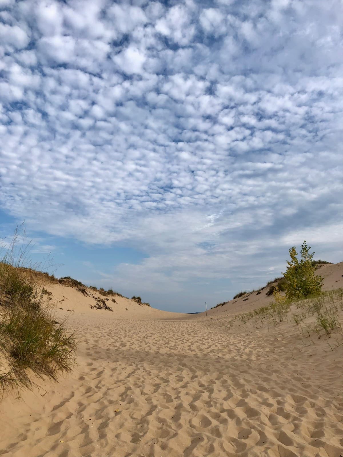
Sleeping Bear Dunes National Lakeshore covers a broad section of northwest Michigan. Build a day around one area, not every landmark, and check current conditions and alerts before driving.
Fees and passes
The park charges an entrance fee. See the current NPS fees and passes page for vehicle, individual, motorcycle, annual, and federal pass options. Do not compare passes using old prices: calculate against the current fee table and the parks you will actually visit.
Dune Climb
The Dune Climb provides access to the dunes and the Dunes Trail. Reaching Lake Michigan is a strenuous sandy hike, not a quick extension of the first climb. NPS describes the round trip as 3.5 miles and potentially three to four hours. Carry water, protect against sun, and turn back before exhaustion.
Sleeping Bear Point Trail
Use the official Sleeping Bear Point Trail page and park maps. The sandy 2.8-mile loop begins at the end of Sleeping Bear Dunes Road, west of the Maritime Museum, not at D.H. Day Campground. NPS rates it strenuous. Wind, heat, drifting sand, and exposed terrain can increase difficulty.
Pierce Stocking Scenic Drive
Pierce Stocking Scenic Drive is a seasonal park road with numbered stops. Use the current NPS guide for overlook mapping and closure status. Park only in designated areas; if a lot is full, continue safely rather than parking along an unapproved roadside.
Beaches and geography
- Esch Beach is at the end of Esch Road, where Otter Creek reaches Lake Michigan.
- Good Harbor Beach is farther north in the park, accessed from County Road 651.
They are different access points. Check each NPS place page for current parking, restrooms, beach access, and notices. Great Lakes water can be cold and dangerous; review NWS beach hazards and obey closures.
Manitou Islands and ferry planning
The Manitou islands are separate trips requiring boat transportation and additional planning. The current NPS Manitou Islands page says the regular ferry will not operate in 2026 because dock construction leaves no safe docking location. It also lists island facilities, docks, and utilities as closed for the season. Do not use an older ferry schedule or plan an island day trip without first reading the current NPS access notice.
Accessibility
Accessibility varies by facility, trail, overlook, season, and equipment availability. Start with the park's accessibility page, then contact the park about the specific stop and accommodation needed. Paved access does not make an entire dune or beach route accessible.
Last verified July 27, 2026. Current NPS alerts and posted signs control.